↓ ↓↓
johannes liem is a freelance cartographer, gis & web developer and a phd candidate with city university london.
↑ research ↓
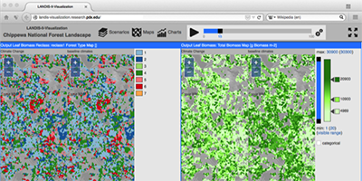
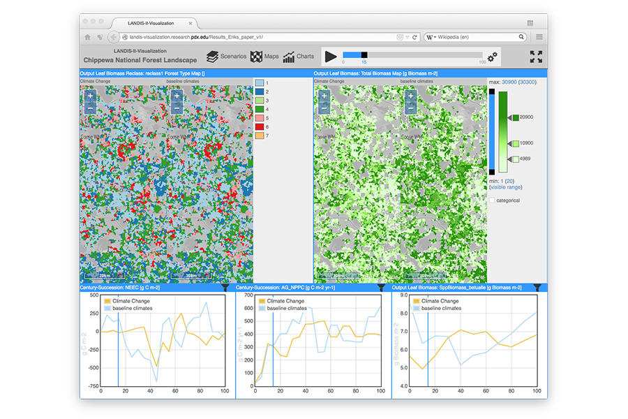
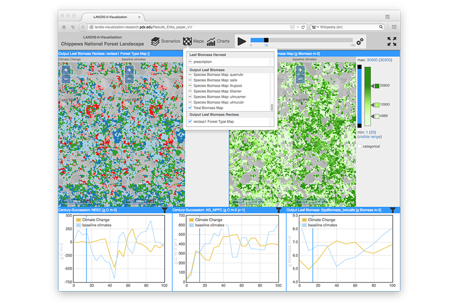
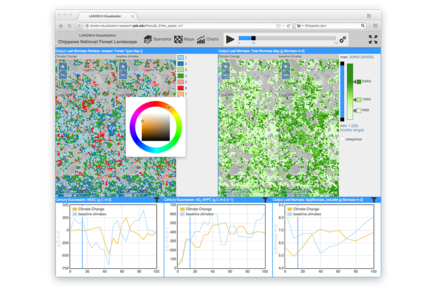
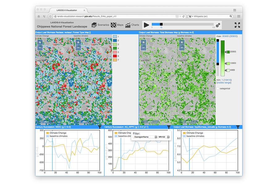
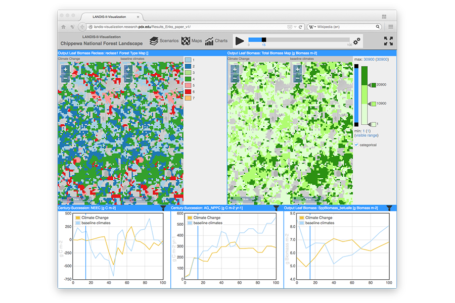
LANDIS-II Visualization
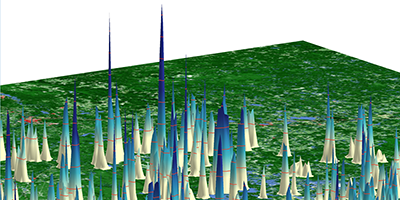
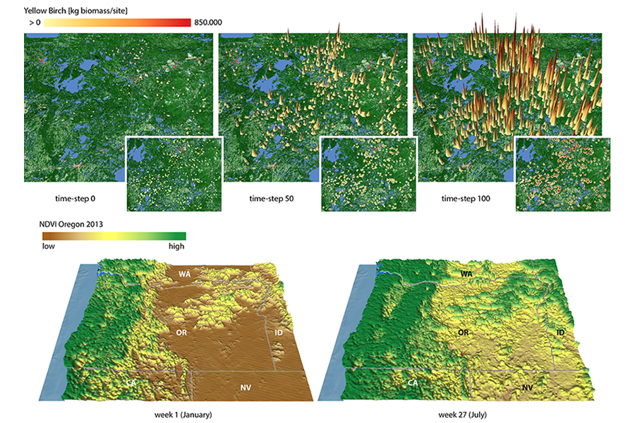
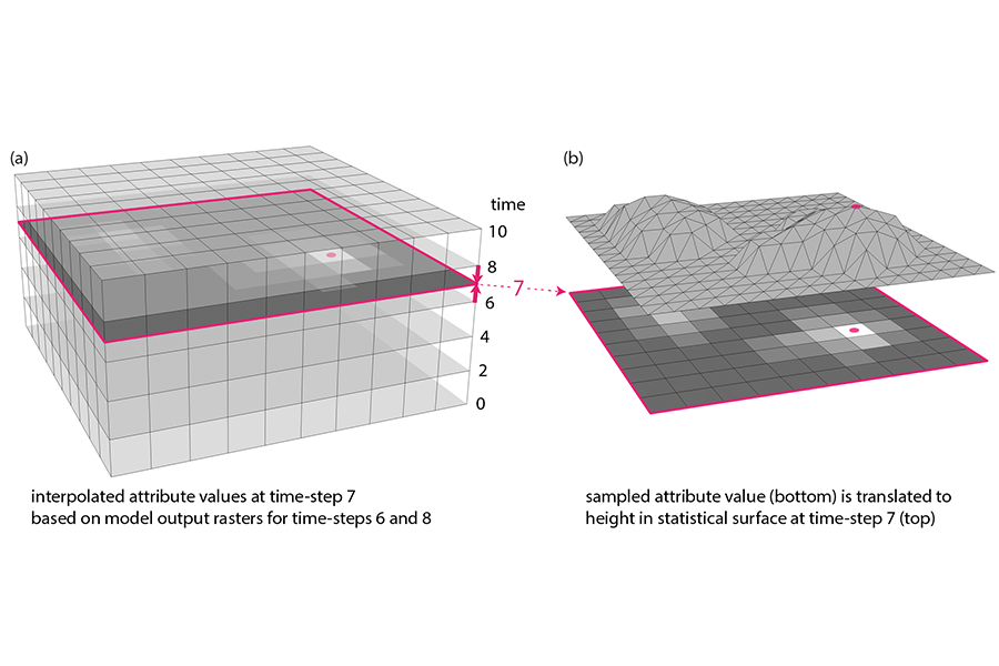
4D Statistical Surfaces
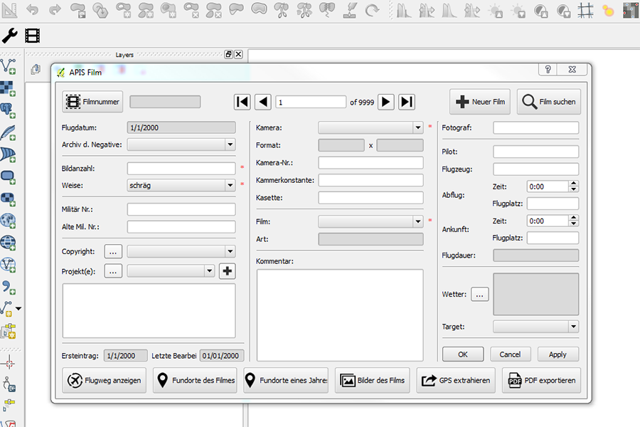
APIS - PyQGIS Plugin
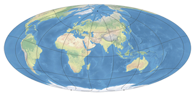
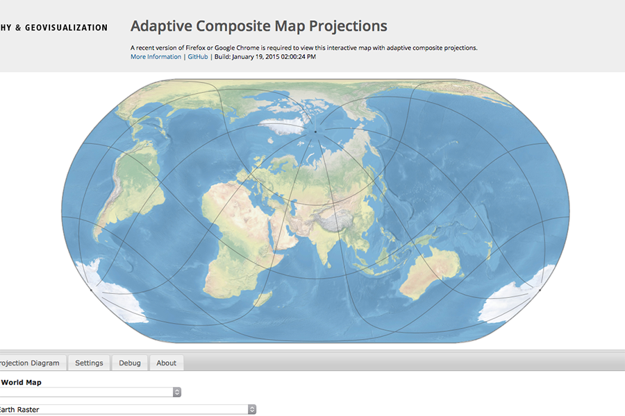
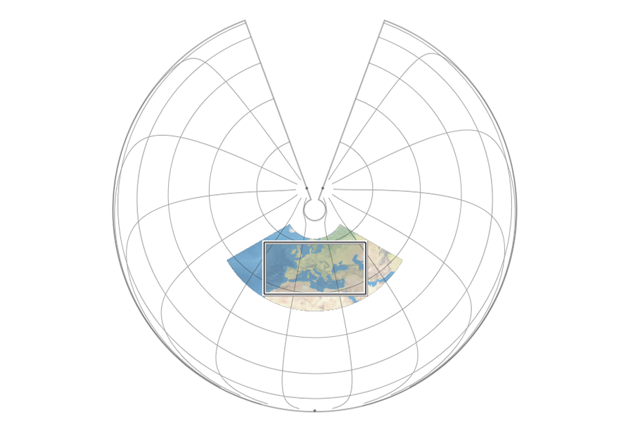
Adaptive Composite Map Projections

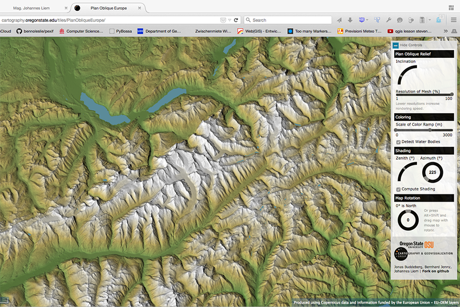
Terrain Visualization
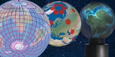
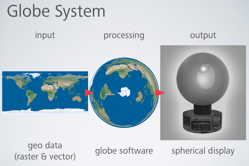
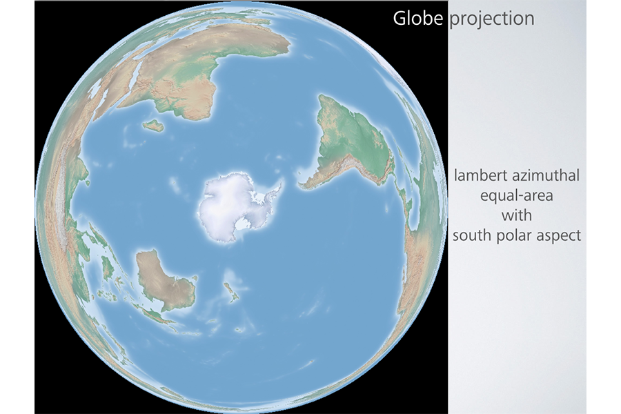
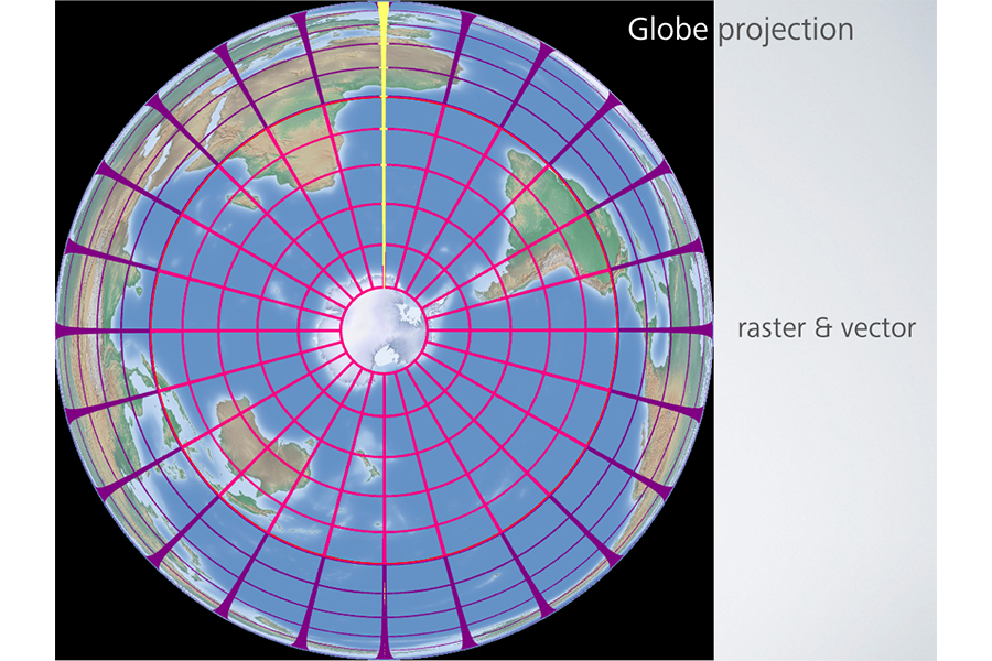
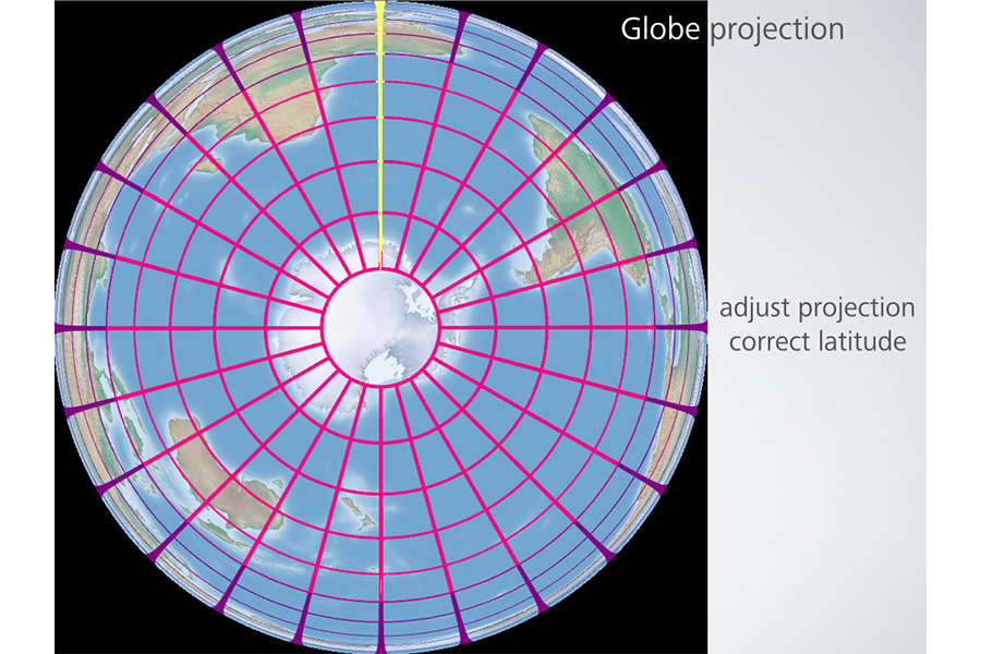
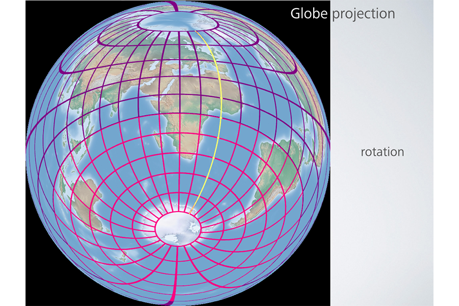
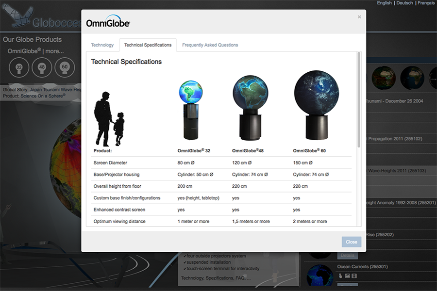
Digital Globes
↑ web projects ↓
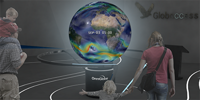
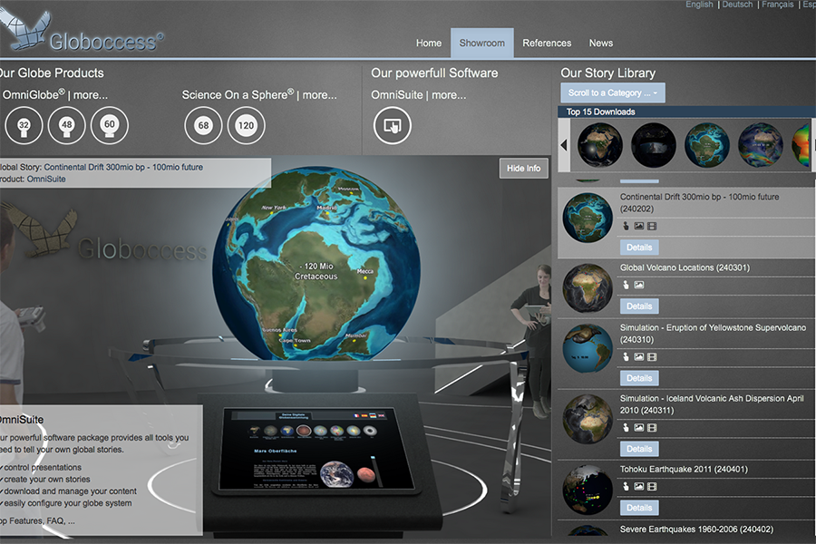
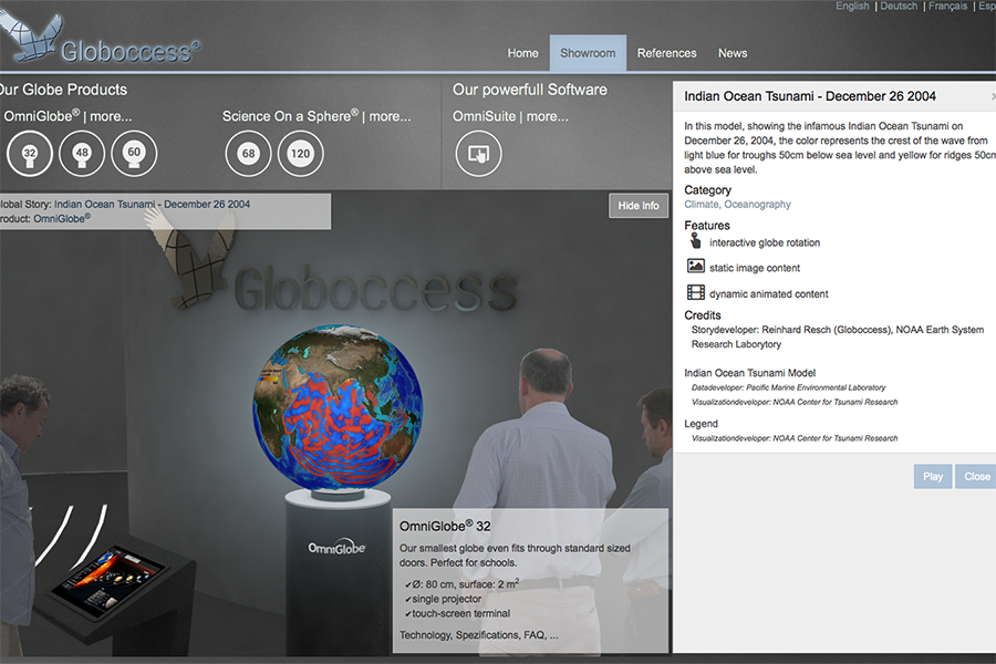
globoccess.com
↑ johannes ↓

2005 - 2012
geography, cartography & gis at the university of vienna
first year major in computer science
↓
2012 - 2014
faculty research assistant at oregon state university (cartography & geovisualization group)
↓
2015 +
freelance cartographer, gis & web developer (vienna)
phd candidate at city university london (giCentre)
selected publications
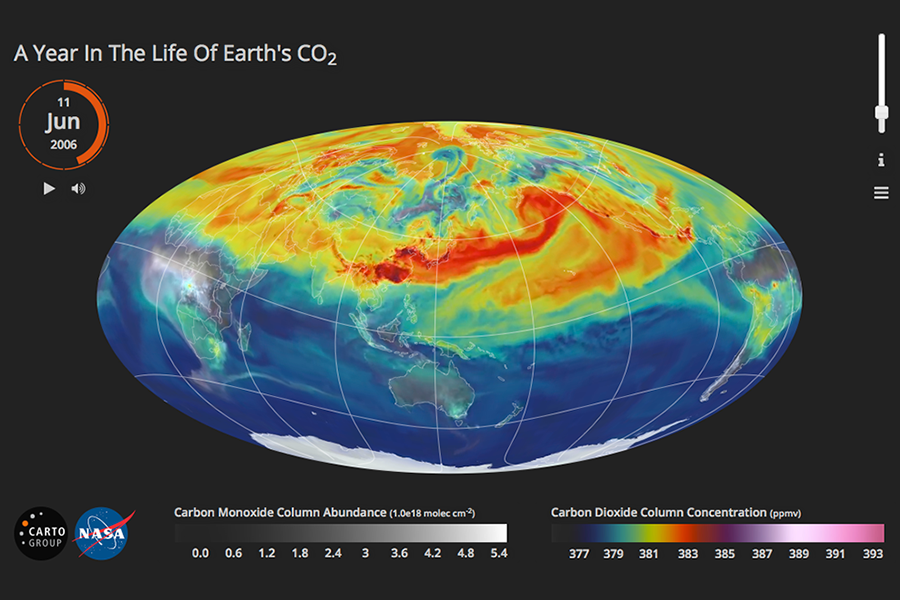
- Jenny, B., Liem, J., Šavrič, B. and Putman, W. M. (2016). Interactive video maps: A year in the life of earth’s CO2. Journal of Maps. DOI: 10.1080/17445647.2016.1157323
- Gustafson, E., Lucash, M., Liem, J., Jenny, H., Scheller, R., Barrett, K. and Sturtevant, B. (2016). Seeing the future impacts of climate change and forest management: a landscape visualization system for forest managers. Gen. Tech. Rep. NRS-164. Newtown Square, PA: U.S. Department of Agriculture, Forest Service, Northern Research Station. 18 p. (pdf)
- Jenny, B., Šavrič, B. and Liem, J. (2015). Real-time raster projection for web maps. International Journal of Digital Earth. DOI: 10.1080/17538947.2014.1002867
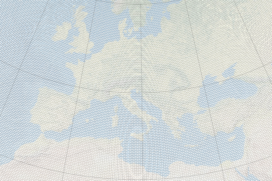
- Jenny, B., Buddeberg, J., Hoarau, C. and Liem, J. (2015). Plan oblique relief for web maps. Cartography and Geographic Information Science. DOI: 10.1080/15230406.2015.1015169
- Jenny, H., Liem, J., Lucash, M.S. and Scheller, R.M. (2014). 4-D Statistical surface method for visual change detection in forest ecosystem simulation time series. Selected Topics in Applied Earth Observations and Remote Sensing, IEEE Journal of , 7(11), 4505–4511. DOI: 10.1109/JSTARS.2014.2324972
awards & scholarships
- A Year in the Life of Earth’s CO2 (co-author)
- 2016 Journal of Maps — Best Map of 2016
- 2016 National Science Foundation NSF Vizzies Visualization Challenge — Interactive (Popular Science)
- 2015 CaGIS Map Design Competition: Interactive Digital
- Plan Oblique Europe (co-supervisor; student: Jonas Buddeberg)
- 2014 honorable mention Ravenstein-Förderpreis of the German Cartographic Society
- 2014 NACIS Student Dynamic Map Competition — Interactive
- 2014 FOSS4G Most Unique Map Award & People's Choice Award
- PhD Scholarships
- 2015 — 2018, George Daniels PhD Scholarship
- Peformance Scholarships
- 2010, University of Vienna, Cartography & GIScience
- 2009, University of Vienna, Geography
- 2006, University of Vienna, Media Informatics
